
The John W Sellars – Lebanon Chapter of the Tennessee Ornithological Society conducted the Christmas Bird Count on Saturday, 2 January 2016 after a hiatus of several years. Stephen Zipperer drew a new circle for the count, and by all accounts, it’s a good area. Below is a link to a Google map of the circle, and some of the checklists from the days count. Thanks to all the dedicated birdwatchers who braved the frigid temperatures to make the renewed Wilson County Christmas Bird Count a success.
 Wilson County Christmas Bird Count Circle map [ Google map ]
Checklists submitted to eBird.org:
- Rocky Valley Road 1
- W. Cedar Forest Road
- Rocky Valley Road 2
- S. Hartman Drive & I-40
- Cedar City Trail at Hickory Ridge Road
- Central Pike
- Putnam Lake
- Callis Road
- S. Rutland Road Pond
- Pointe Barton Drive
- James E Ward Agriculture Center
- Walnut Grove Road 1
- North Denny Road
- Walnut Grove Road 2
- Wilson County 1
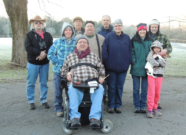
Darryl, Melissa, Jack, Greg, Stephen, Ken, Kristy, Laura, Roy, Josellen & Suzy pose for a frostbitten photo before racing off to count birds for the Christmas Bird Count in Wilson County, Tennessee on 2 January 2016
.
lebanonbirding.org
